How do I install this?
Set up your Infoseek account to get your app URL, then paste that URL into your preferred AI client.
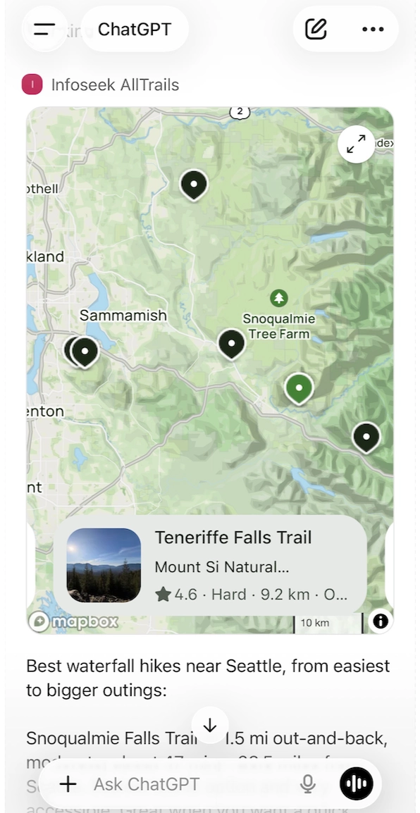
Ship trail discovery, route filtering, and trailhead weather inside your AI product without building and maintaining your own trails database.
Common questions teams ask before integrating AllTrails MCP.
Set up your Infoseek account to get your app URL, then paste that URL into your preferred AI client.
It powers trail search, named trail lookup, detailed trail metadata, and trailhead weather for AI apps and agents.
Searches and weather calls are live at request time. Conditions can change, so rerun before final trip decisions.
For location-based search, pass coordinates. For details and weather, pass a trail_id. Optional filters refine activity, difficulty, length, and elevation.
Yes. The search tools support filters for activity type, difficulty, route type, rating, length, elevation, and more.
Yes. Use a scheduled Codex Agent or workflow to run saved searches and send result summaries by email.
Most requests complete in seconds, depending on geographic scope, filters, and API response time.
Yes. Any MCP client that supports tools/list and tools/call can integrate this endpoint.
The AllTrails MCP exposes five production-ready tools for trail discovery, named search, rich trail details, and trailhead weather. Numeric filter values are expressed in meters.
Tool
Use when you have a point location and want nearby trails within an optional radius.
Required inputs
input.latitudeinput.longitudeUseful optional inputs
input.max_radius_metersinput.filters.activity, difficultyinput.filters.length, elevation_gain, durationinput.filters.min_ratinginput.limit, input.sortReturns
trails[].name, difficultytrails[].length_miles, length_meterstrails[].elevation_gain_feettrails[].alltrails_web_urlTool
Use when you know a bounding box and want trails inside those coordinates.
Required inputs
input.southwest_boundsinput.northeast_boundsUseful optional inputs
input.filters.activity, difficultyinput.filters.length, elevation_gain, durationinput.filters.route_type, trail_trafficinput.limit, input.sortReturns
trails[].location_labeltrails[].trail_head_distance_milestrails[].features, activitiesTool
Use when the user knows a trail name or wants a name-based search.
Required inputs
input.search_queryUseful optional inputs
input.latitudeinput.longitudeinput.limitReturns
trails[].id, nametrails[].avg_ratingtrails[].alltrails_web_urlTool
Use after a trail search to fetch rich descriptions, stats, and accessibility details.
Required inputs
input.trail_idReturns
trail.name, difficultytrail.length_miles, length_meterstrail.elevation_gain_feettrail.features, activitiesIncludes
trail.descriptiontrail.route_typetrail.alltrails_web_urlTool
Use for a 7-day forecast at the trailhead once you have the trail ID.
Required inputs
input.trail_idUseful optional inputs
input.units (i or m)Returns
daily_forecasts[]weather_alert_textThe MCP returns ready-to-render trail cards with ratings, distances, difficulty, and canonical AllTrails links. Length and distance fields include both meters and miles.
trail_head_distance_miles
Quickly rank trails by proximity to the user.
length_miles + length_meters
Show length in the units the user expects while keeping metric precision.
avg_rating + difficulty
Use quality and difficulty to drive ranking and recommendations.
alltrails_web_url
Stable canonical trail URL to link out or store for later.
{
  "trails": [
    {
      "id": 10280443,
      "name": "Discovery Park Extended Loop",
      "avg_rating": 4.7,
      "difficulty": "Moderate",
      "length_miles": 4.3,
      "length_meters": 6920.162,
      "elevation_gain_feet": 479.0,
      "trail_head_distance_miles": 5.57,
      "route_type": "Loop",
      "alltrails_web_url": "https://www.alltrails.com/trail/us/washington/..."
    },
    {
      "id": 10029568,
      "name": "Coal Creek Trail",
      "avg_rating": 4.5,
      "difficulty": "Moderate",
      "length_miles": 5.6,
      "length_meters": 9012.304,
      "elevation_gain_feet": 620.0,
      "trail_head_distance_miles": 8.56,
      "route_type": "Out & back",
      "alltrails_web_url": "https://www.alltrails.com/trail/us/washington/..."
    }
  ]
}
Most integrations are a simple sequence: location search, optional detail fetch, and trailhead weather.
const nearby = await mcp.callTool("find_trails_within_bounds", {
  input: {
    southwest_bounds: { latitude: 47.45, longitude: -122.49 },
    northeast_bounds: { latitude: 47.75, longitude: -122.15 },
    filters: { activity: ["hiking"], min_rating: 4 }
  }
});

const topTrail = nearby.trails[0];
const detail = await mcp.callTool("get_trail_details", {
  input: { trail_id: topTrail.id }
});
AllTrails MCP access is provisioned by Infoseek. Reach out to enable production access for your team.
We provision the MCP for your environment, align usage with your product needs, and help you ship the integration quickly.
Get schema guidance, filter mapping help, and best practices for trail personalization and ranking.
Use distance, rating, and difficulty to rank trails based on who the user is and where they are located.
Features, activities, and route type fields let you show a credible recommendation without extra scraping.
Pair trail suggestions with trailhead forecasts to reduce surprise and boost conversion.
Answer “Where can I hike this weekend?” with filtered, nearby trail options and trailhead weather.
Recommend trails that match distance, difficulty, or elevation goals for training plans.
Provide curated hikes near hotels, vacation rentals, or destination towns without manual research.